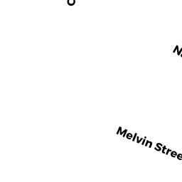
14 ROGER ST
Owner Information
DAY EUNICE M
14 ROGER ST
CHICOPEE, MA 01013 2128


Property Details
14 ROGER ST is classified as a Single Family Residential (Old style).
The primary structure on this property was built in 1916. There are 2,114ft2 of built area within this property. There is 924ft2 of residential/living space within this property. This property is listed as having 5 rooms.
14 ROGER ST is valued at $153,600. The land is valued at $74,500 and the structures are valued at $78,100. There is an additional valuation of $1,000 on this property.
This property is in Zone 0. Confirm with local Zoning Board authorities to ensure there are no overlays or other easements on this property.
The most recent deed for 14 ROGER ST is recorded at the local registrar in Book 11322, Page 552. 14 ROGER ST was last sold on Thursday, August 31, 2000 for $115,400.
Assessment data from fiscal year 2022.
Flood Data
According to the FEMA National Flood Hazard Layer, this property does not appear to be in a flood zone. It may also be in an area not yet reviewed. Nonetheless, confirm this information prior to taking any action.
To view the flood hazards around this property, create a FEMA "Firmette" Map of the area around 14 ROGER ST.
Broadband Internet Providers
| Provider | Type | Bandwidth (mbps) | |
|---|---|---|---|
| GCI Communication Corp. | Satellite | 0 | 0 |
| Charter Communications Inc | Cable | 940 | 35 |
| Verizon New England Inc. | DSL | 7 | 0 |
| Viasat Inc | Satellite | 100 | 3 |
| VSAT Systems, LLC. | Satellite | 2 | 1 |
| HughesNet | Satellite | 25 | 3 |
| T-Mobile | Fixed Wireless | 25 | 3 |
Broadband service provider data from December 2020.
Adjacent Properties
- 501 CHICOPEE ST
Two-Family Residential owned by SAYERS BRENDAN J - 503 CHICOPEE ST
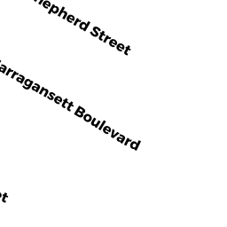
Single Family Residential owned by ROSTOCKI GLEN EDWARD & - 115 NARRAGANSETT BLVD
Single Family Residential owned by TEBALDI DOMINICK A - 0 NARRAGANSETT BLVD
Undevelopable Residential Land owned by TEBALDI DOMINICK A - 497 CHICOPEE ST
Potentially Developable Residential Land owned by BNSJ REALTY LLC - 499 CHICOPEE ST
Single Family Residential owned by RODRIGUEZ HARRY J